

Note: This is a trip walked in 2019 in those innocent, pre-coronavirus times. The current advice given for taking trips is to not travel outside of your home area except when necessary for food or medical supplies.
Seathwaite is the furthest village to the south of Borrowdale and this walk was one planned for a while yet shelved for a decent forecast due to how wet the Sca Fell area is. An excellent forecast meant the route was on and necessitated an early start to drive through Keswick and begin the meandering route past Derwent Water and down to the smaller lanes of Borrowdale, snaking past the lovely villages of Grange and Rosthwaite.
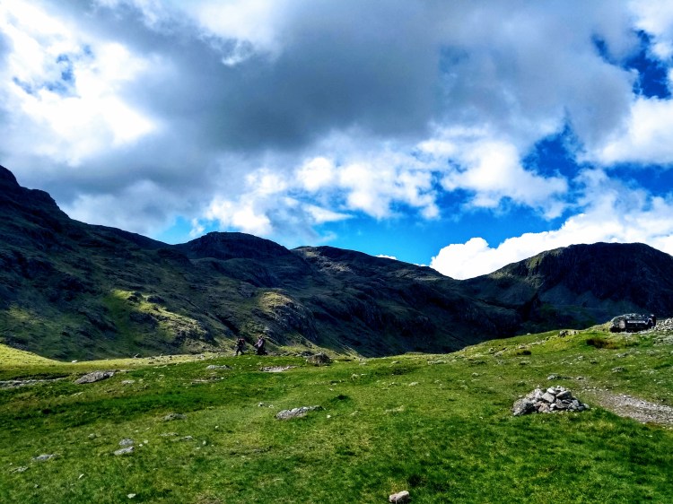
The little farm at Seathwaite gets a lot of foot-fall due to it being positioned at the start of many National Three Peaks routes to Scafell Pike as well as a fairly easy access to the three significant tarns in the area. There was barely two cars parked when I arrived though, and the prospect of quiet fells seemed a promising start to the day.

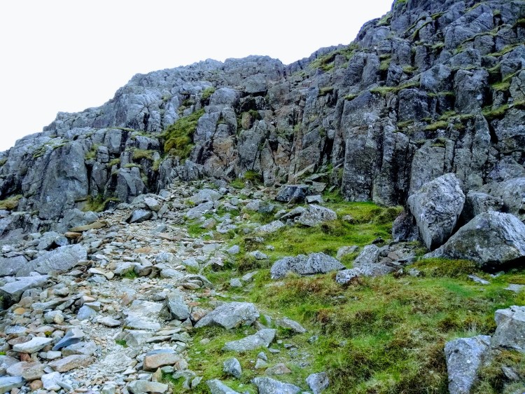
The route to Styhead Gill via Stockley Bridge is a well worn route and is covered with rocks to help with erosion, making it rough on the feet. The bridge is a precursor and an end of the flat easy amble and begins aggressively climbing before curving around after you’ve had a chance to enjoy views of Taylorgill Force, though on the day there was very little flow to speak of.
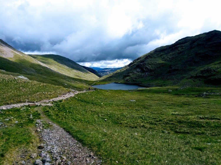
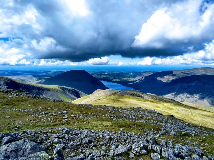
Styhead Gill has a lovely easy path which contrasts the ascent to it and lets you catch your breath as the views start coming in to focus as the tarn begins to gently glisten in the sunlight. Rarely, it was totally still and this made for a particularly tranquil little spot.
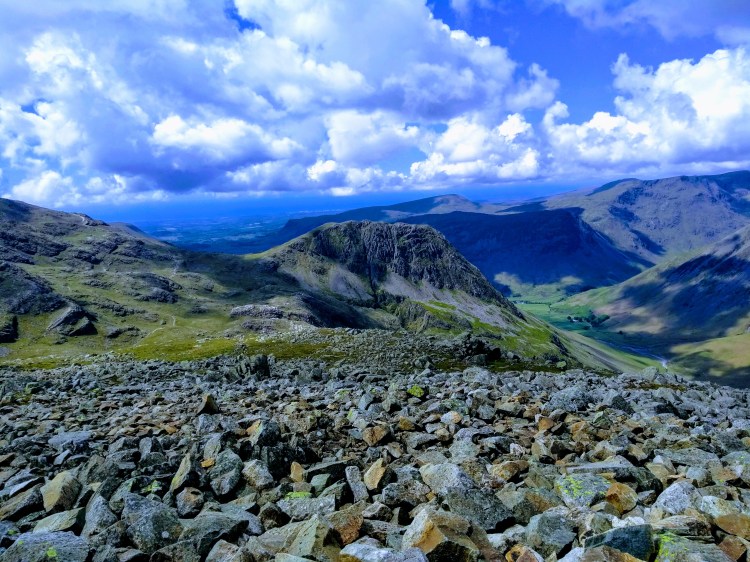
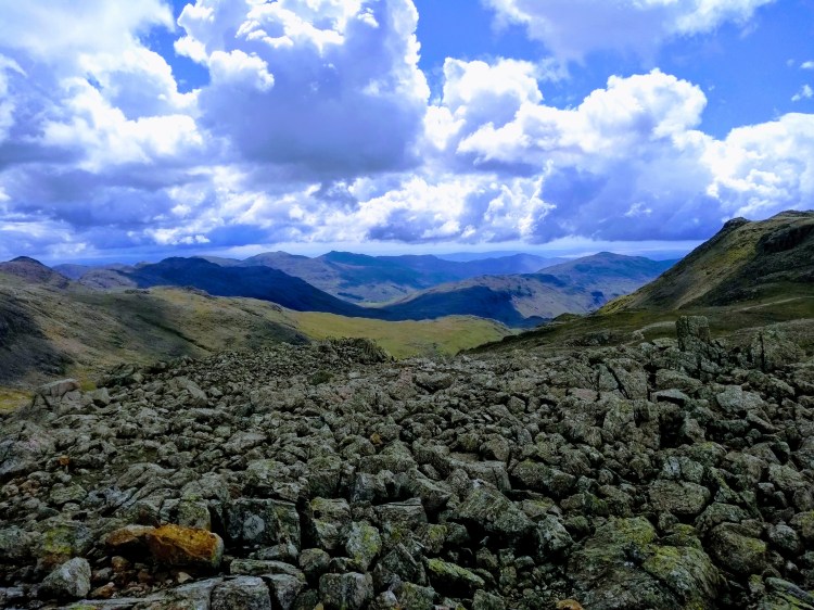
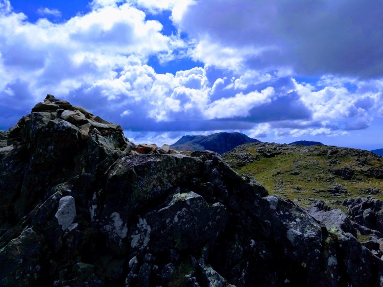
Heading beyond the tarn you take a little ‘jink’ which brings you around the Mountain Rescue stretcher box and on to the corridor route and on a clear day such as this it was stunning. The millions of tonnes of rock of Great Gable to your left as you climb in the sun’s shadow – negotiating a rewarding section of easy scrambling in parts, heading past the iconic Piers Gill (a frequent wrong turn taken by walkers descending).
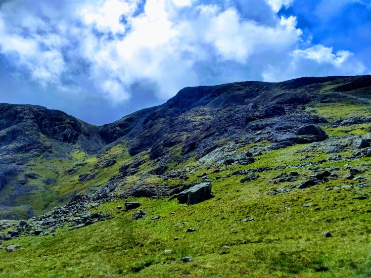
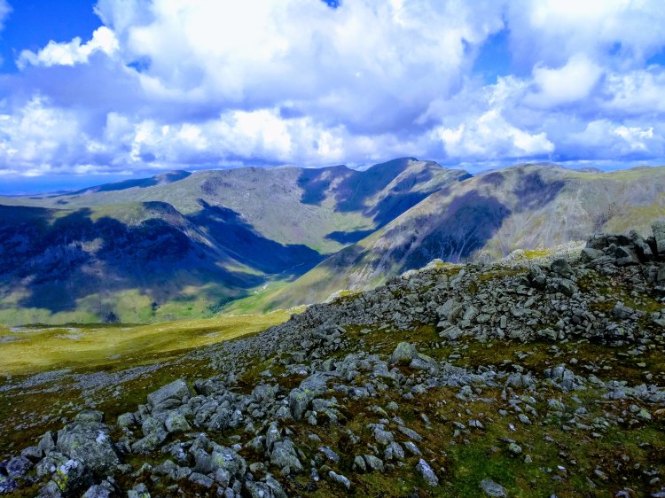
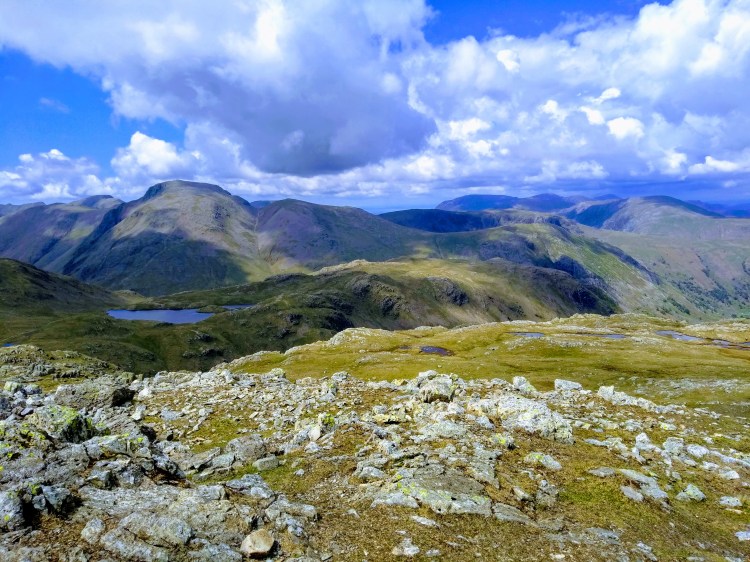
I wasn’t intending to do Lingmell on the day but conditions meant it was so tempting I couldn’t help but find myself heading over the (still slightly soggy) col and heading up to the cairn. The fairly unassuming ascent hid an absolutely stunning view from the top and I ended up taking a short break here, totally out of sight from anyone with the valley opening out before me to the north.
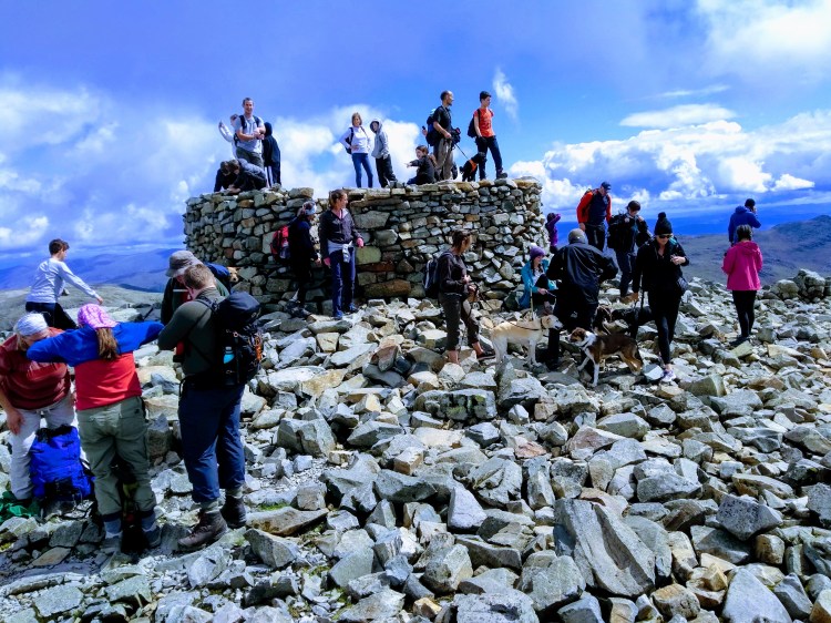
On the way down from Lingmell I noticed a steady stream of walkers on the Wasdale path slowly making progress on the firm steps – presumably all the way to the summit, though some were taking breaks in the sunshine and were struggling with this part of the route. This marked an end to the solitude of the morning and I was passing a fair few of these groups on the way up – people from all over the world had decided it’d be a good day out, some stopped and watching a couple of fighter jets which were likely on a training flight nearby. Scafell Pike was in full sun and to put it mildly was ‘quite busy’ with many choosing to linger after their exertions. A proper lunch stop was had and I took the unusual step (for me) of taking ten minutes just enjoying the summit, sat there watching the world go by.
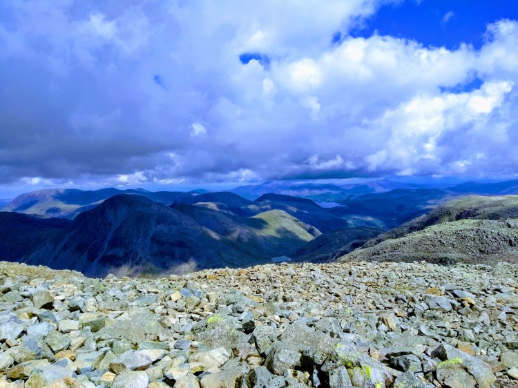
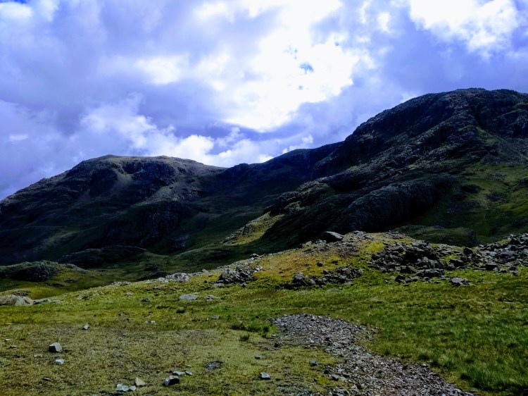
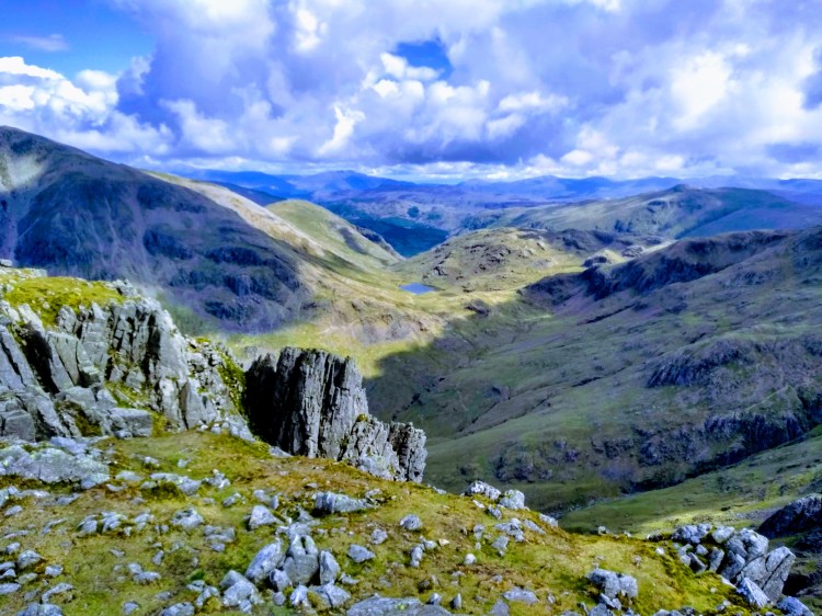
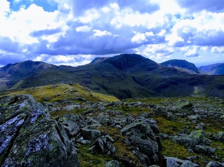
Once I felt a little recharged I took the path to the north east towards Broad Crag, a fairly steep and scree-covered descent which reminded me of the west side of Fairfield (my last episode of unplanned rock skiing). The path made a gorgeous route and headed towards Great End, the peak which had dominated the view when approaching Styhead Tarn earlier in the day – though was much more manageable from the south with most walkers seemingly choosing to walk straight past it – giving me the summit to myself. Stunning.
It was approaching mid afternoon now and I knew I wanted to keep making progress so ditched Esk Pike (one for another day), instead choosing to head to Esk Hause where the weather really started turning – high winds and heavy rain started coming down and full waterproofs were donned. I’m not usually a fan of waterproof trousers but when the rain is as heavy as that they made a difference, and I passed a few of the under-prepared walkers looking rather sorry for themselves on their way down towards Sprinkling Tarn. Definitely a lesson many of us take a few attempts to learn, but I’ve concluded always bring waterproofs (at least a light jacket) in the UK. Your optimism is not enough to repel water!
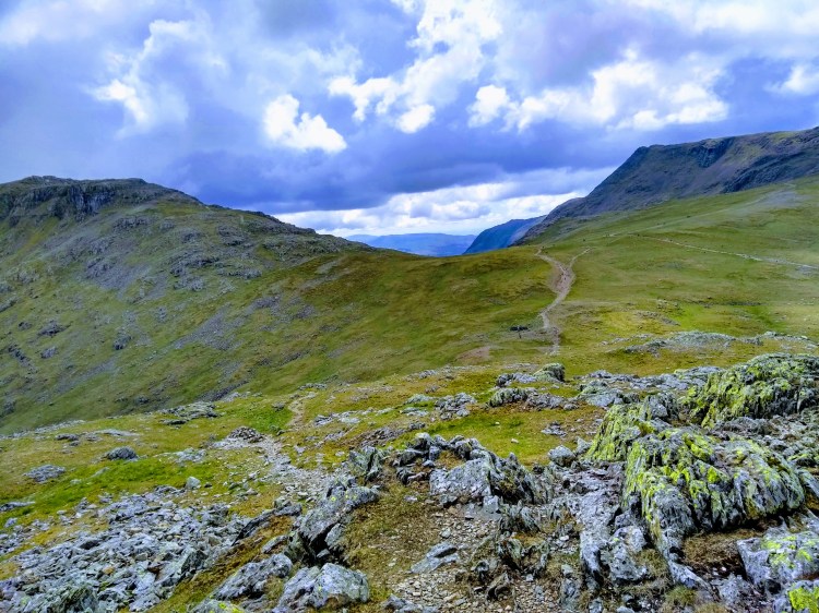
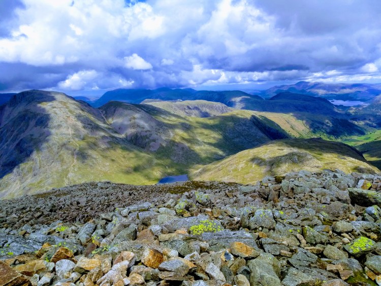
Grains Gill was tempting but feeling quite fresh I decided on Allen Crags to the north east, putting a few more miles in to my (now rather tired but unbelievably comfy) hiking boots – a decision which pushed me away from the busy routes and gave me the fells back almost entirely to myself. This boggy area north of Allen Crags was lovely to walk through, reminding me a little of High Rigg in its undulating character with a few pools and mini tarns scattered around. By this point most of the rain had abated but it was still sporadic, tempting me to put the waterproofs on again before I’d overheat ten minutes later.
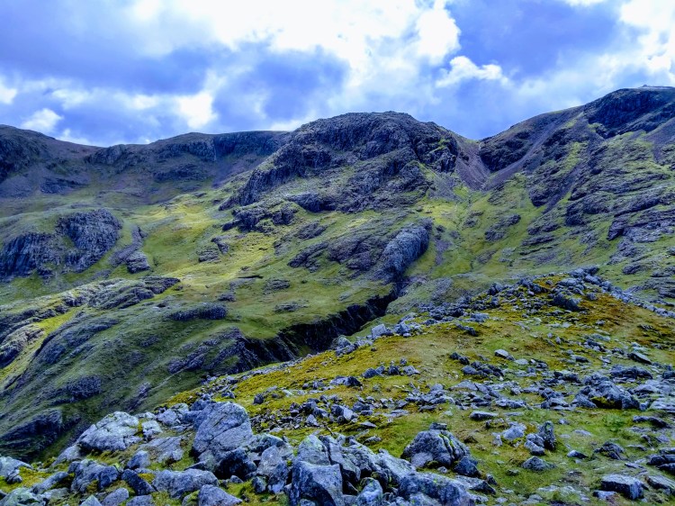
Glaramara loomed ahead and I was feeling a little weary, having not taken a break since Great End and feeling a need to change my soggy socks after a wrong step in a particularly deep bit. A few minutes on the summit relaxing out of the wind game me enough energy to decide to attempt a down-climb on the slippery scramble on the north side of Glaramara, in retrospect probably not a great idea to do over slippery rock but it brought a bit of variety in to the day.
The last Wainwright of the day done and sun back out I was glad to be dropping off the tops and away from the worst of the southerly wind, though the route I was itching to do over Raven Crag and down to Combe Gill was probably a little too far – and instead the steep descent alongside Hind Gill seemed a faster way back to Seathwaite.
That said as the topo-map suggests this is an especially steep, slippery route with wet grass making it something which needed caution, though the gill itself did hide some beautiful little mini crystal clear waterfall features and I restocked my water bottle a few times with this mana, the previous few hours having little in the way of water I wouldn’t have had to filter.
Fields of sheep approached and I had finally moved off the steep bit, joining the main path and heading back to the farm – the car park areas now full of those enjoying a day out in the fells. Excellent day out and despite some showers the majority of the day was superb.
